COLUMBIA, S.C. — Brace Yourself for a Winter Mix!
As the chilly winds start to swirl, it’s time to cozy up and prepare for a winter storm that’s making its way to South Carolina! The National Weather Service (NWS) has issued new warnings and advisories, predicting some wintry weather from Friday through Saturday morning. Yes, you heard it right—snow, sleet, and maybe even some ice could be on the way, so let’s dive into what you need to know!
What to Expect
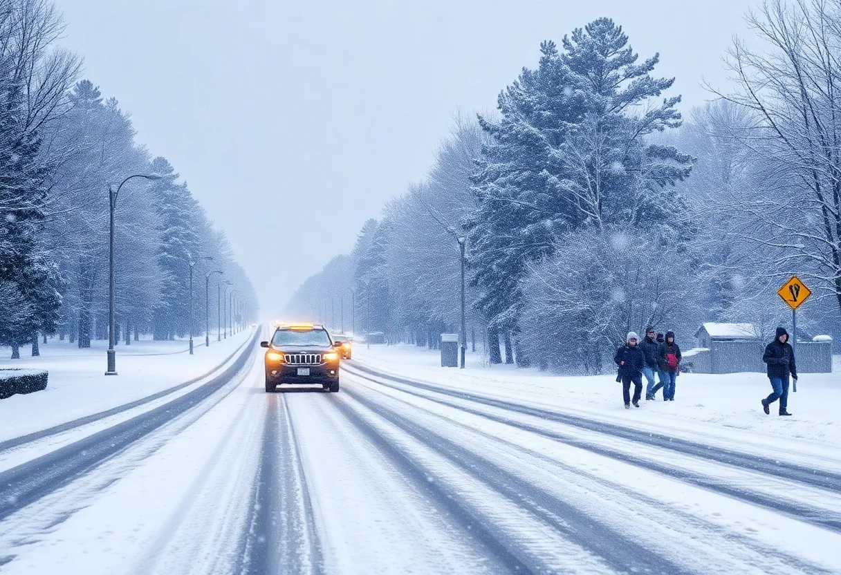
From 10 a.m. Friday until 7 a.m. Saturday, certain counties—including Fairfield, Kershaw, Newberry, and Saluda—are under a winter storm warning. This means those areas are in for a serious mix of freezing rain, snow, and sleet which could lead to some slippery travel conditions! Make sure you’re being extra cautious if you need to hit the roads.
The NWS has warned that we could see about two to three tenths of an inch of ice accumulating, so if you’re in one of the counties mentioned, it would be wise to prepare for possible power outages and icy conditions.
Advisories in Effect
In addition to the winter storm warning, there’s also a winter weather advisory active from 10 a.m. Friday to 7 a.m. Saturday for Lexington, Richland, Orangeburg, Calhoun, northern Orangeburg, Sumter, and Lee Counties. This means those folks could be looking at snow or sleet accumulations of up to half an inch, and some light ice, too. So don’t let the winter surprise you!
The Storm’s Path
The storm is set to pick up momentum starting Friday morning, moving northeastward. Expect precipitation to start spreading across the area by midday, initially bringing a wintry mix. As we head into the evening, we may notice a shift to more freezing rain as warmer air begins to push in from the south. This particular change could create those tricky icy patches on the roads.
While snow accumulation may be on the lighter side, areas underneath the winter storm warning are likely to bear the brunt of the freezing rain, which could cause the biggest headache for travelers.
Timeline of Precipitation
Here’s a quick rundown of how the weather might unfold for us:
- Friday Afternoon: Expect a healthy mix of rain, sleet, snow, and even some freezing rain. If you’re north of I-20, you might have a better chance of seeing snowfalls.
- Friday Evening: The wintry mix will continue to blanket much of the state with light accumulations.
- Friday Night: The temperatures will dip, making icy conditions more likely.
- Saturday Morning: As the storm moves on, the winds might pick up, ushering in some clear skies, but don’t expect any warmth just yet. We’re looking at temperatures in the upper teens to lower 20s!
What’s Next?
After this wintery spell, a dry stretch is expected. Temperatures are likely to remain below normal as a high-pressure system settles over the region, so it seems like we’ll need to bundle up for a bit longer!
Remember, stay tuned to the local weather for updates and safe driving tips if you have to go out. It’s important to take care of each other out there during this chilly season. Stay warm, South Carolina!


 Mays Contracting

