News Summary
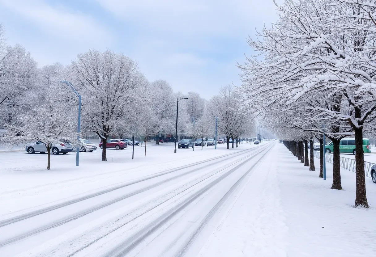
Columbia is about to experience a significant winter blast, with temperatures dropping into the teens and a forecast of snow accumulation between one to three inches. Starting Sunday night, freezing air will set in, creating cold conditions throughout the week. A mix of precipitation is expected midweek, and the public is advised to take precautions for potential icy roads and hazardous weather conditions. As the week progresses, warmer temperatures may return just in time for the weekend.
Columbia Prepares for a Wintry Blast
Hey there, Columbia! Get ready to bundle up, because this week is shaping up to be a bone-chilling one. Forecasts are predicting that our lovely city and the wider South Carolina area are about to experience some seriously wintry weather. So, if you thought winter was over, think again!
Cold Weather Rolling In
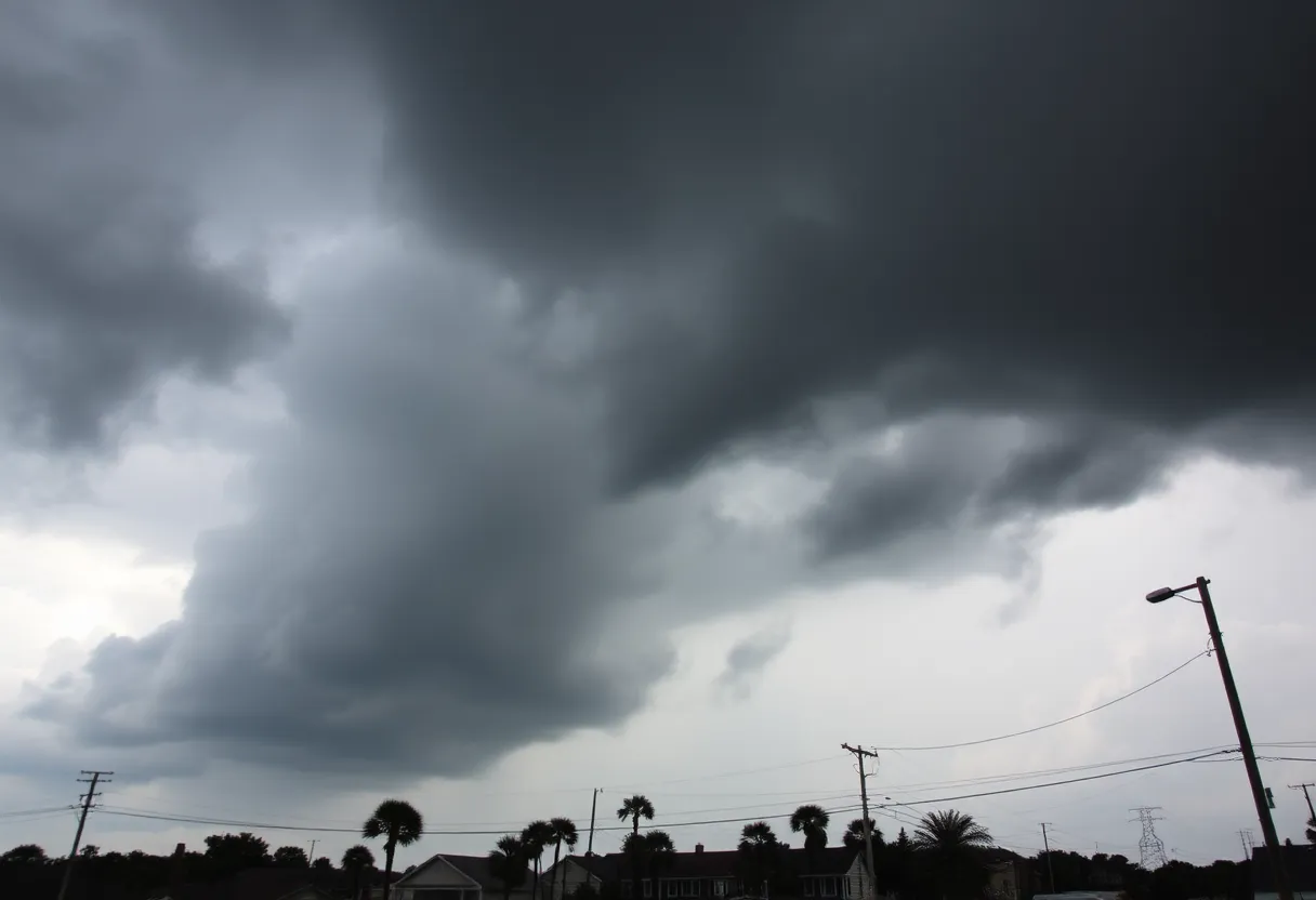
Starting Sunday night, freezing air masses will begin to roll in, chilling us to the bone. This cold front is expected to linger for most of the week. High temperatures are going to be stuck in the 30s, and overnight lows might plunge into the *teens*. As you can see, it’s not going to be a warm and fuzzy situation. Wind chill is expected to drop below 15 degrees overnight, making it feel like even colder!
Snow on the Horizon
Now for the big news: snow! The National Weather Service is quite confident that most of South Carolina will see some snowfall, particularly in areas south of Interstate 20. Accumulation is expected to start between Tuesday and Wednesday, with estimates of anywhere from one to three inches. This is shaping up to be a highly impactful winter storm, especially for the Midlands, Lowcountry, and Pee Dee regions!
Be Cautious
As we brace ourselves for this winter wonderland, it’s important to keep safety in mind. The NWS has warned of potential issues that could arise, including frozen pipes and hazardous conditions for anyone without proper shelter. If you’re planning to drive, take extra precautions because the road conditions could become quite dangerous with the expected snowfall.
A Mixed Bag of Weather
On Wednesday, things might get even trickier as a wintry mix of freezing rain, sleet, and snow is forecasted, depending on the temperatures at play. A low-pressure system is set to move along the coast, which will bring precipitation to the Midlands. We could see a drop to a low of 30 degrees Wednesday night and a 30% chance of precipitation. Expect to get less than half an inch of precipitation, but keep in mind that localized areas might experience heavier amounts!
Roads and Commuting Efforts
The South Carolina Department of Transportation is already on the move, beginning their efforts to salt the roads, starting with our crucial interstates and primary routes. It’s a good idea to keep an ear out for updates as we navigate these potentially tricky conditions!
Lingering Chill
Just when you thought it couldn’t get any chillier, overnight temperatures could dip into the 20s later in the week, with a low of 20 degrees possible on Thursday. Be on the lookout for refreezing and black ice—these could create treacherous driving conditions.
Looking Ahead
As we inch closer to the weekend, daytime temperatures might inch back up to the 40s and could even reach into the 50s and 60s. If all goes according to forecast, this could be Columbia’s third snowstorm in 2025! Let’s hope we can dig out from this squall just in time for some warmer days ahead.
Recent Snows and Snowfall Records
Just a quick reminder: the last time we encountered snowfall in Columbia was back in January 2022, where we saw an impressive accumulation of up to 3 inches. So, grab your coats and take your time getting where you need to go. Stay warm and safe out there!
Deeper Dive: News & Info About This Topic
- The State: Columbia Prepares for a Wintry Blast
- WIS TV: Beautiful Snowflakes Fall Across South Carolina
- Weather.com: Columbia SC Weather
- WLTX: South Carolina Snow Photos
- Google Search: South Carolina Winter Weather