News Summary
Residents in Upstate South Carolina, particularly in Anderson, Greenville, and Spartanburg counties, are being warned of severe thunderstorms and potential tornadoes this weekend. The National Weather Service has issued a Hazardous Weather Outlook for March 15-16, 2025. With heavy rain and strong winds expected, caution is advised as power outages from previous storms are still affecting many areas. The Governor has declared a State of Emergency in anticipation of heavy rainfall and flash flooding, urging residents to prepare for possible disruptions.
Severe Thunderstorms and Tornado Warnings for Upstate South Carolina
As the weekend approaches, residents of Anderson, Greenville, and Spartanburg counties should be prepping for a wild ride! The National Weather Service has put out a Hazardous Weather Outlook for several areas in South Carolina, North Carolina, and Georgia for March 15-16, 2025. It’s looking like Saturday through Sunday is going to bring some serious weather, so let’s dive into the details!
What’s Coming Our Way
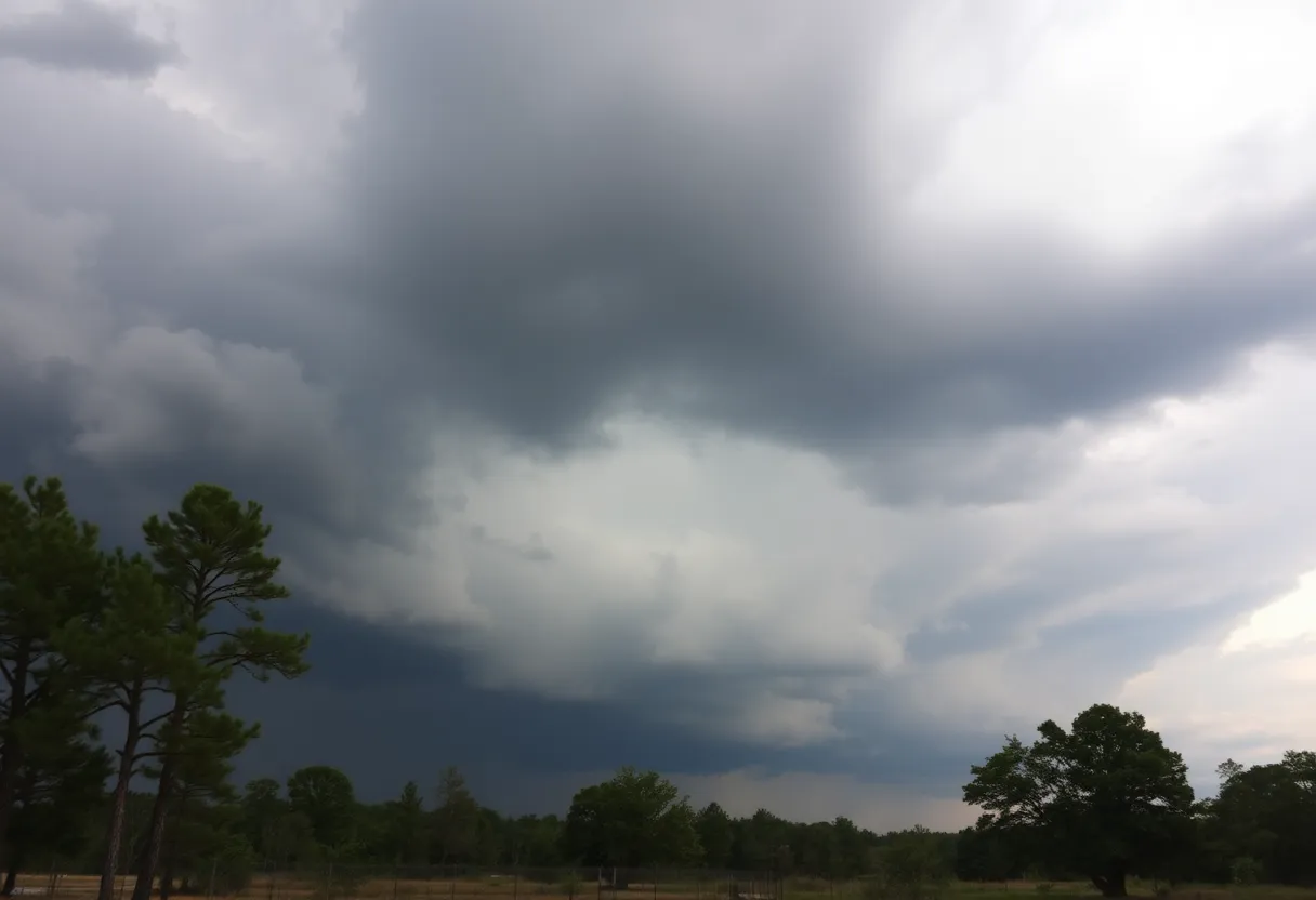
Brace yourselves because a powerful storm system is heading our way, promising heavy rain and potential severe storms that could roll in Saturday evening. The excitement ramps up when you consider that there’s a chance of tornadoes making an appearance. Meteorologist Christiaan Patterson has started the buzz with predictions of strong winds, large hail, and yes, even tornado threats among the mix of expected weather impacts.
Risk Warning
The National Weather Service has highlighted several risks for the region, including damaging wind gusts, tornado activity, and large hail. There’s even talk of the possibility of strong tornadoes not being entirely ruled out, which definitely should catch your attention. Local areas, particularly the southern mountains of North Carolina and South Carolina, should be on high alert for the possibility of flash flooding due to locally heavy rainfall.
Weekend Forecast
Now let’s break down the weekend forecast. Saturday is expected to be mostly cloudy, with a comfortable high near 77°F. Winds will pick up, reaching speeds of 22 mph, making it feel a bit breezy. But the real action kicks in late Saturday night, with showers and thunderstorms likely beginning after 2 a.m., dropping temperatures to a low around 62°F.
Come Sunday, you can expect those showers and thunderstorms to continue, cooling things off to a high of around 73°F. Rainfall amounts could reach as much as 0.75 inches, alongside a whopping 90% chance of precipitation. So, don’t forget your umbrella if you plan to go out!
Power Outages and Aftermath
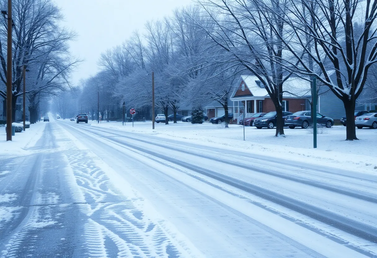
Things have already gotten a bit chaotic as previous severe thunderstorms have caused power outages across Greenville County, with thousands still dealing with the impacts. Reports are rolling in about damages from the storms earlier this week, including downed power lines, damaged trees, and even water rescues! Emergency crews have been hard at work overnight, restoring power and clearing roadways.
Several local spots are currently without power, and visitors to the Greenville Zoo, Unity Park, and Falls Park are being affected, with the zoo closing until further notice.
Governor Takes Action
In light of all these brewing storms, South Carolina Governor Henry McMaster has declared a State of Emergency ahead of Hurricane Helene, anticipating high winds and heavy rainfall. Rainfall totals between 8-10 inches are expected for Greenville from Wednesday through Friday, and some areas could even reach a staggering 12 inches!
A Flood Watch is currently in effect until Friday afternoon for various locations, heightening the potential for flash flooding. Everyone from schools to local authorities is keeping a cautious eye on potential impacts, leading to cancellations and changes to classes and events.
Preparing for the Storm
Residents are urged to prepare for all sorts of weather-related disruptions, especially the potential for power outages, flooding, and those dangerously exciting weather conditions we’ve got coming. It’s best to ensure you have flashlights, batteries, and any necessary supplies ready to go!
Stay tuned for updates and keep safe out there, Upstate South Carolina!
Deeper Dive: News & Info About This Topic
HERE Resources
Southern California Braces for Heavy Rainfall and Debris Flows
Severe Thunderstorm Warning Hits Newberry County
Trump’s Tariff Proposal Ignites Political Storm
Columbia, S.C. Braces for Severe Weather
Columbia, SC Prepares for Extreme Winter Weather Conditions
Tropical Storm Debby Causes Chaos in South Carolina
Tropical Storm Debby Brings Historic Rainfall and Flooding Threats to the Carolinas
Tropical Storm Debby Hits South Carolina: A Community in Crisis
Flood Warning Update for Greenwood and Newberry Counties
Brace For the Chill: Polar Vortex Hits the U.S.
Additional Resources
- Greenville Online: Tornadoes Possible in Greenville
- Wikipedia: Tornado Warning
- AOL: Power Outages and Storm Damage
- Google Search: Severe Weather Outlook
- Weather.com: Greenville Weather
- Google Scholar: Severe Thunderstorms
- Fox Carolina: Storm Coverage Downtown Greenville
- Encyclopedia Britannica: Thunderstorm
- WSPA: Greenville Hit Hard with Wind and Rain
- Google News: Power Outages in Greenville