News Summary
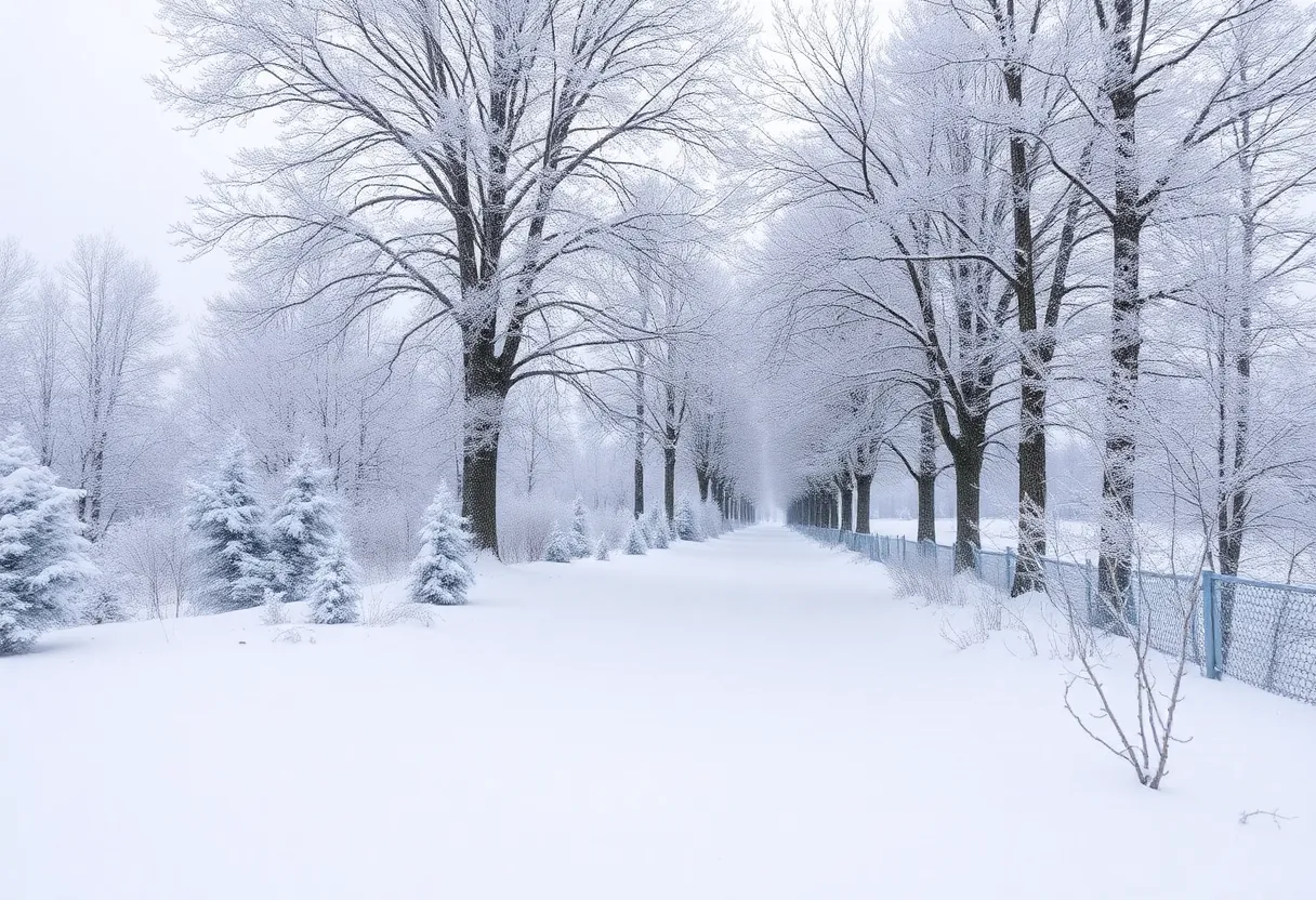
An Arctic outbreak is set to bring severe cold temperatures across the U.S. this January. Expect temperatures to plummet 35°F below average, with highs struggling to reach the mid-20s°F. The cold wave may last for over a week, impacting travel and infrastructure. Cold weather advisories are being prepared as wind chills could drop to dangerous levels, especially in the South and Southeast. Residents should prepare for potential school closures and freezing conditions.
Brace Yourselves: An Arctic Outbreak is Coming!
It looks like we’re in for quite a chill, folks! An Arctic outbreak is on the horizon, and it’s set to send temperatures tumbling as much as 35 degrees Fahrenheit below what we normally see in mid-January. The cold wave is expected to kick off on Saturday and stick around for at least a week, so get those winter coats ready!
A Sneak Peek at What to Expect
For those of you living in the South and Southeast U.S., you’re going to really feel the bite of this frigid air. The temperatures are not just dipping; they’re dramatically departing from what we consider average for this time of year. If you thought it couldn’t get any colder, just wait for Inauguration Day when daytime highs will linger around the mid-20s°F, and with wind chills dropping down into the teens. Yikes!
The Science Behind the Slush
So, what’s causing this upheaval in our normally moderate winter? It involves a strong high-pressure area or “ridge” that’s settled itself firmly over the eastern Pacific and Alaska, while a dip or “trough” has formed over areas in the central U.S. A swirl of ultra-cold air is forecasted to make its way down from Hudson Bay in Canada, and it’s looking for a cozy spot right over our homes.
Interestingly, there are studies suggesting that changes in the polar vortex might be happening more often due to climate change. However, this is a bit of a heated debate in the scientific community, so we’ll leave that for another discussion!
Winter Wonderland or Just Wind Chill?
Earlier in January, some polar vortex events had us expecting a white winter, but the twist was milder temperatures—no broken records to report! As for this coming week, a smaller weather system, known as a clipper system, might grace the Lehigh Valley area with light snow on Thursday, though accumulations shouldn’t reach much more than an inch or two. Luckily, the snow will likely be light and dry, so travel shouldn’t face significant issues.
The Deep Freeze is Coming
Starting Sunday, a major Arctic front—complete with air that’s taken a trip all the way from Siberia—is expected. Early forecasts hint at the possibility of light snowfall ranging from 1 to 3 inches late Sunday into Monday. However, the coldest air of the season will kick in Monday night into Tuesday, with temperatures poised to drop an astonishing 15 to 20 degrees below what we usually see.
Next week, brace yourselves for highs hovering around 20 degrees and lows dipping into single digits. Plus, if the wind chill comes into play, it could feel even colder—potentially even below zero. Definitely not the kind of weather to forget those mittens and hats!
School and Infrastructure Challenges Ahead
Another concern? The extreme cold can wreak havoc on our infrastructure, including the dreaded frozen pipes and a surge in heating demands. Residents in places like Metro Detroit will need to stay alert as the wind chill factors may plummet to 20-30 degrees below zero, and we could see some school closures as a precaution.
Cold weather advisories are being prepared as temperatures fall into that problematic -15 to -24 degree range, while extreme cold watches or warnings will likely follow. School operations, especially after the Martin Luther King Jr. Day weekend, may also be affected as districts navigate the tough weather.
What Happens Next?
The National Weather Service is taking the threat seriously, consolidating severe weather alerts to keep everyone informed in the lead-up to these icy days. Interestingly, the snowfall from this outbreak is expected to be minimal, primarily characterized by brutal temperatures rather than significant winter precipitation. However, forecasters are keen to monitor potential interactions between the Arctic air and Gulf moisture that could put us on alert for a possible winter storm.
So, gather up your winter gear—we’re in for a wild ride with this Arctic outbreak! Stay warm and safe!
Deeper Dive: News & Info About This Topic
- Lehigh Valley News
- Click On Detroit
- The Weather Channel
- Wikipedia: Arctic Outbreak
- Encyclopedia Britannica: Polar Vortex


