Columbia Braces for Potential Snowfall This Week
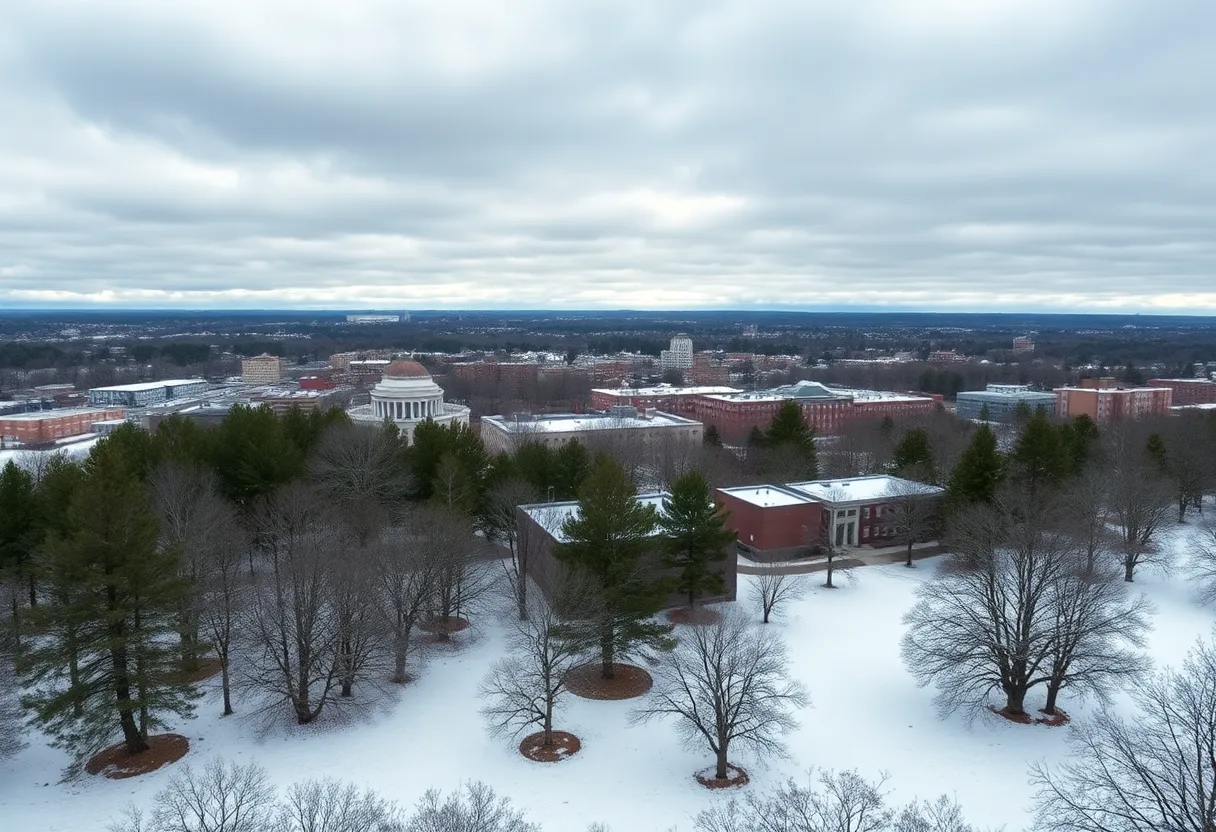
Columbia, South Carolina, residents might want to grab their warm hats and gloves because it looks like snow is on its way! According to the National Weather Service, chances are increasing for some wintry white stuff starting Tuesday afternoon and possibly stretching into Wednesday morning.
A Chilly Forecast Ahead
Meteorologist Emily Carpenter shared on Sunday that snow flurries are expected to begin anywhere between 3 p.m. and 8 p.m. on Tuesday. While it’s tricky to make an exact prediction regarding how much snow will actually fall, estimates suggest anywhere from half an inch to 2 inches could blanket the Columbia area. But don’t be fooled by the numbers—because of the seriously cold temperatures, the snow that falls may stick around for a while, even if it’s just a light dusting.
“There’s a lot of uncertainty about how much snow we get, but temperatures this week will be very chilly,” Carpenter explained. Morning temperatures could dip down into the teens, making it feel even colder due to wind chill—so we might find ourselves bundled up against feels-like temperatures in the single digits.
When and Where to Expect Snow
The snow is projected to continue its frosty fall into Wednesday morning. Right now, forecasters have placed the likelihood of precipitation in the Midlands at around 65-85%. It’s almost guaranteed that any precipitation we see will be snow, thanks to the freezing temperatures expected during this period. Residents living to the south and east of Columbia may even see localized amounts greater than those reported in the central area, so keep your eyes peeled!
It will be interesting to see where the snowfall will cut off, as there’s expected to be a sharp boundary between areas that get snow and those that don’t, likely stretching to places like Chapin and Newberry. These areas experienced a more intense winter storm back on January 10, which included snow, sleet, and freezing rain, but this week’s forecast indicates sleet or freezing rain won’t be making an appearance.
Taking Precautions
While Columbia’s residents gear up for the potential winter weather, there’s no need to panic! Thankfully, forecasters aren’t predicting super strong winds, which often add complications like downed trees and power outages. However, it’s essential to be aware of the extreme cold that accompanies this system. Snowfall could create some challenging driving conditions, and with overnight temperatures dropping to around 15 degrees, there’s a chance for refreezing and ice forming on the roads.
Residents are encouraged to take some precautions: cover outdoor pipes, let indoor faucets drip a bit, and make sure pets and sensitive plants are kept warm inside. If you’re a livestock owner, be sure to check on your animals to ensure they’re not only warm but also have access to non-frozen water.
What Comes Next?
Once the snowfall settles down, the midweek forecast looks a bit brighter. Wednesday’s high is expected to reach about 34 degrees, so some snow might melt, but don’t forget about those chilly overnight lows! Even after a possible thaw on Friday with daytime temperatures in the 40s, things could still drop overnight to the mid-20s. By Saturday, it’s expected to warm up a bit more with highs reaching around 50 degrees.
Looking ahead, there’s a little potential for more snow following Tuesday night’s storm. A weak system could roll through again on Thursday night, possibly leading to another dusting. This would mark the third snow event of the year—certainly a rarity in this part of the state!
So, Columbia folks, stay warm, be cautious on the roads, and keep an eye on the forecast as this chilly winter wonderland takes shape!


 Mays Contracting

