
Columbia Braces for Thunderstorms This Monday
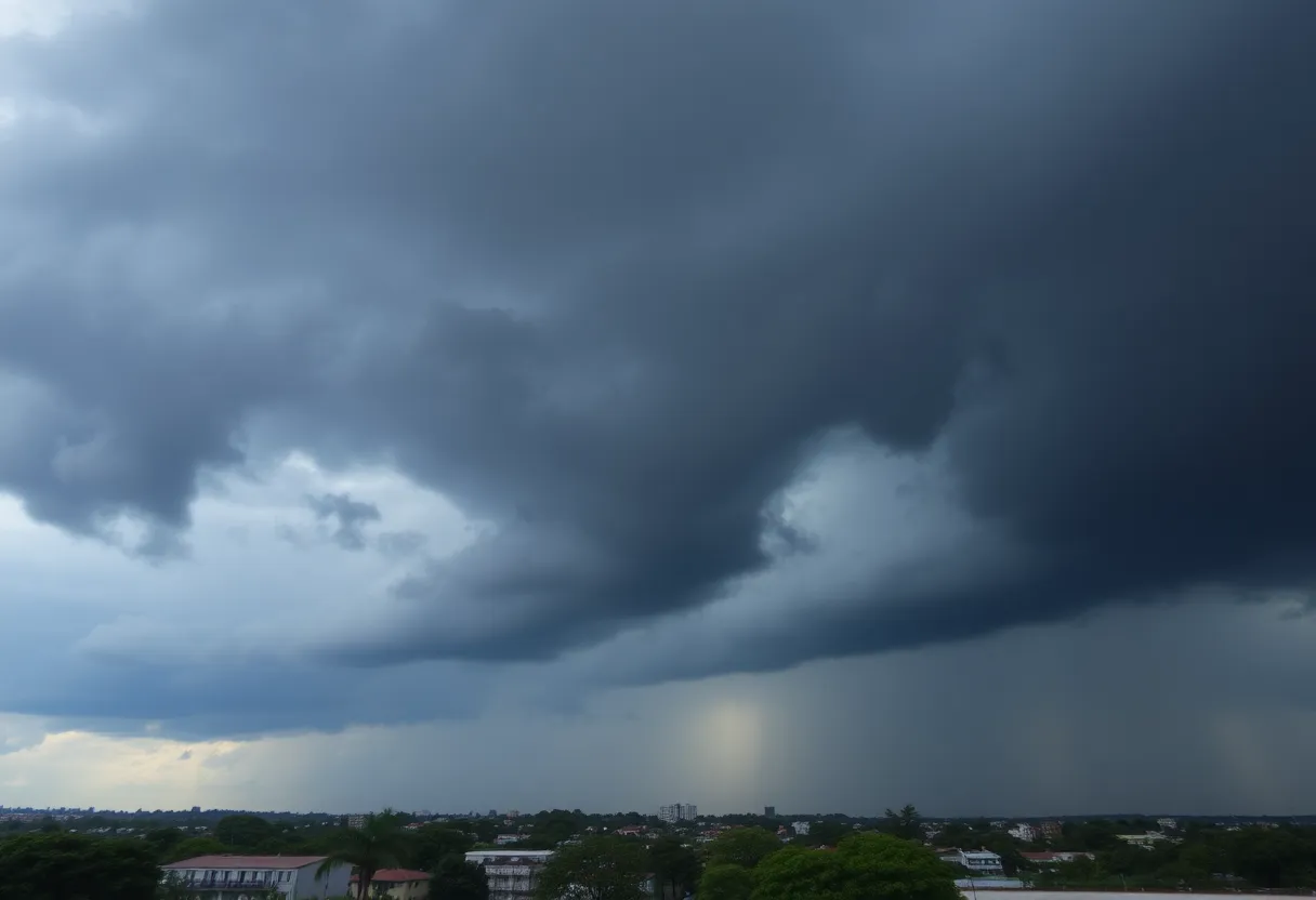
Columbia, we’re keeping an eye on the weather today! The skies are expected to get quite active as the National Weather Service has issued a severe thunderstorm watch for our area. So, if you’ve got plans this afternoon or evening, you might want to prepare for some wild weather.
Timing Is Key
Originally, the storms were anticipated a bit earlier, but the timing has shifted slightly. Meteorologists have now updated us that the storms are expected to roll into the Columbia area sometime after lunch, revving up for a stormy afternoon. We can expect the strongest of the storms to hit between 3 and 8 PM, bringing not just rain but potential winds and hail that could shake things up a bit.
What to Expect
As of this morning, a watch is in effect for Richland County, Lexington County, and several surrounding areas, including Fairfield, Newberry, and Saluda counties. This watch—your heads-up that severe weather could be on the way—will remain in force until 7 PM. It’s always better to be cautious, so if you’re in these areas, stay alert!
While there’s an 80% chance of rain today, we could see about half an inch of precipitation hitting Columbia, with localized amounts being higher during those powerful thunderstorms. Be advised that nuisance flooding is likely, so it’s wise to keep your eyes peeled for any rising water!
Potential Hazards
The primary threat here? Damaging winds. While the risk of tornadoes and large hail is a bit lower than initially thought, we’re still advised to stay on our toes. Southern Columbia area residents are cautioned, as they might see more severe impacts earlier in the day, starting around 1 PM.
In the event of strong winds or a tornado, things could get rocky. Be mindful of your surroundings: trees and limbs can easily fall, causing damage to homes, cars, and power lines. So if you’re out and about, it might be best to find shelter.
A Reminder for Safety
With all this weather action, remember to secure any outdoor items that could catch the wind and potentially become hazards. If you’re driving, take extra care. Avoid unnecessary travel if possible, especially during stormy spells.
Looking Ahead
The forecast for tomorrow looks a bit brighter, with conditions expected to clear up. However, keep your umbrellas handy; we might see showers returning midweek on Wednesday and Thursday. As for temperatures, they’re keeping us comfy today, with highs hitting around 80 degrees, before we approach those toasty 90-degree days towards the end of the week.
Stay Informed
As with all weather updates, please check back frequently for the latest information. Weather can change fast, and we want you to be equipped with all the best and most accurate details. This is a developing story and we will keep you informed as updates come in, so don’t forget to refresh for new information throughout the day!
Stay safe, Columbia!