News Summary
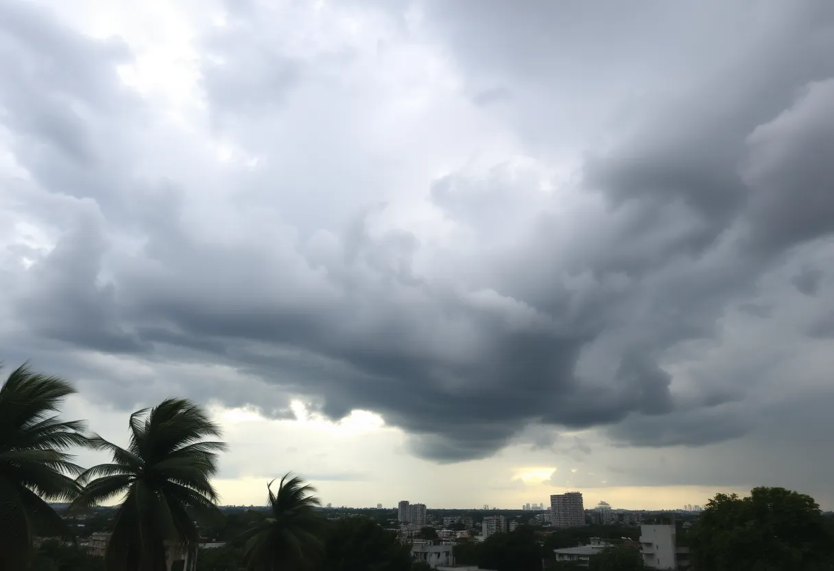
A potent storm system is approaching the Central U.S., bringing potential severe weather including heavy snow and tornado threats. Regions from the Midwest to the Southern Great Lakes are expecting impactful storms, with blizzard conditions forecasted for areas like Nebraska and Minnesota. The storm poses risks for up to 12 million people, emphasizing the need for preparedness and awareness as conditions may worsen throughout the week.
Severe Weather Alerts Issued as Spring Storm System Promises Heavy Snow and Tornado Threat Across Central U.S.
Heads up, folks! A strong storm system is making its way across the United States, bringing a mix of everything from heavy snow to potential tornadoes. **Severe storms are expected** to hit the Mississippi Valley, stretching into the southern Great Lakes area on Wednesday. If you live in cities like Chicago or Indianapolis, keep an eye on the skies!
What’s Happening?
This storm system is sweeping through portions of the Midwest and South. For those on the warmer side, places like Nebraska and Iowa may experience strong to severe thunderstorms starting Tuesday night, with the National Oceanic and Atmospheric Administration (NOAA) giving them a risk level of **1 out of 5** on the severe thunderstorm risk scale. The **biggest worry**? Hail could be a serious issue as these storms roll through.
Looking Ahead to Wednesday
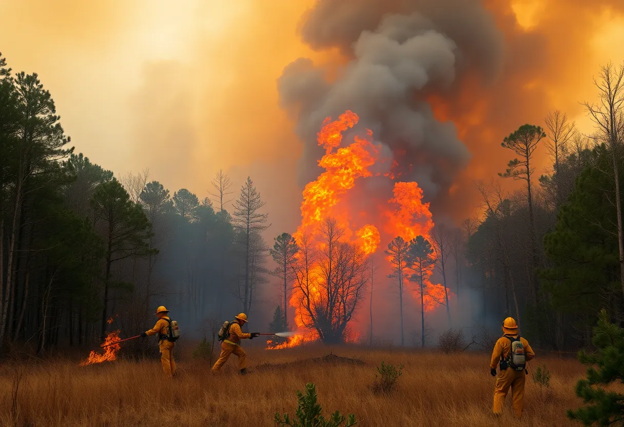
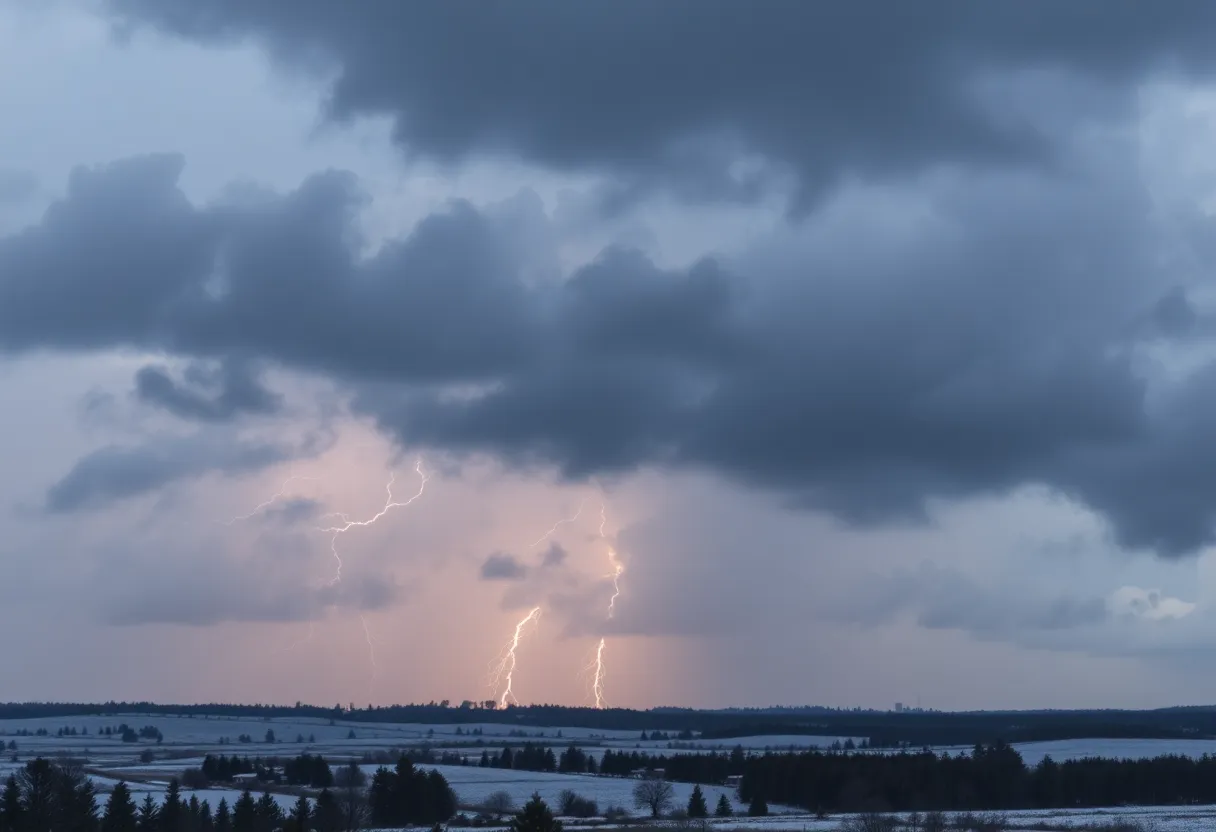
As we move into Wednesday, the chances for severe weather ramp up, extending all the way from the Midwest down to Alabama and Mississippi. Because of strong winds aloft, there’s a possibility for rotating storms. However, the situation may be less severe than the recent storms that led to **intense devastation** and **42 lives lost** from Texas to North Carolina.
What to Expect
Storms will begin to develop in the early to mid-afternoon hours on Wednesday. **Some supercell thunderstorms** could form clusters from eastern Illinois to western Indiana, making it a day to stay prepared. The Storm Prediction Center (SPC) has issued a **level 2 out of 5 risk of severe weather**, impacting more than 12 million people, including areas like Aurora and Joliet in Illinois, along with Indianapolis.
The Blizzard Side of Things
Switching gears, on the colder side of this storm is the potential for a **blizzard** to kick off over the Plains. **Blizzard conditions** are in the forecast with snowfall rates possibly reaching **1-2 inches per hour** in the heaviest bands. Regions from Nebraska all the way to Michigan’s Upper Peninsula could end up with **over a foot of snow** in total! Add in winds gusting up to **50-60 mph** and we’re looking at quite the winter wonderland…or nightmare, depending on how you view it!
Widespread Warnings
Winter storm warnings are currently in effect across the Rockies and Northern Plains, with blizzards expected in the Dakotas and Minnesota. Blizzard Warnings have also been issued from Kansas to Minnesota. If you’re in those areas, you’ll want to prepare for strong winds and heavy snowfall.
Ongoing Concerns
As if that’s not enough, **severe weather events** are expected to continue throughout the week. In fact, another round of severe weather could affect parts of the Plains and South later in the week, with over **8 million people** already placed under a **level 2 out of 5 threat** for severe weather on Sunday, particularly in states like Texas and Louisiana. This follows a **tragic outbreak of severe weather** over the weekend that resulted in deadly tornadoes and substantial wind damage.
Stay Safe and Informed
Amid these severe weather patterns, remember to keep emergency supplies ready and remain updated with local warnings. Missouri’s Governor has even declared a state of emergency, so it’s wise to treat these conditions seriously. On Friday, tornado warnings were reported late in the St. Louis area with confirmed tornadoes sighted nearby. With so much going on, it’s crucial to stay informed and prepared for anything Mother Nature throws our way!
Deeper Dive: News & Info About This Topic