News Summary
As Tropical Storm Helene approaches, Charleston residents are bracing for impacts including strong winds and heavy rains. With storm warnings in effect, local authorities urge preparedness, and several school districts are altering schedules. Safety measures are being implemented as the community looks to stay informed and ready for potential weather hazards.
Charleston Prepares for Tropical Storm Helene’s Arrival
Residents of Charleston and surrounding areas are gearing up as a tropical disturbance is set to impact the South Carolina coast on Monday. Known as Potential Tropical Cyclone 8, this storm is slated to strengthen into what could be named Tropical Storm Helene just as it approaches landfall.
Currently swirling about 85 miles east of Charleston, the storm has those in the path feeling a mix of excitement and concern. It’s predicted to make landfall just north of the city early Monday afternoon. With the storm moving northwest at a leisurely 3 mph, many are keeping a watchful eye on its movements.
Tropical Storm Warnings in Effect
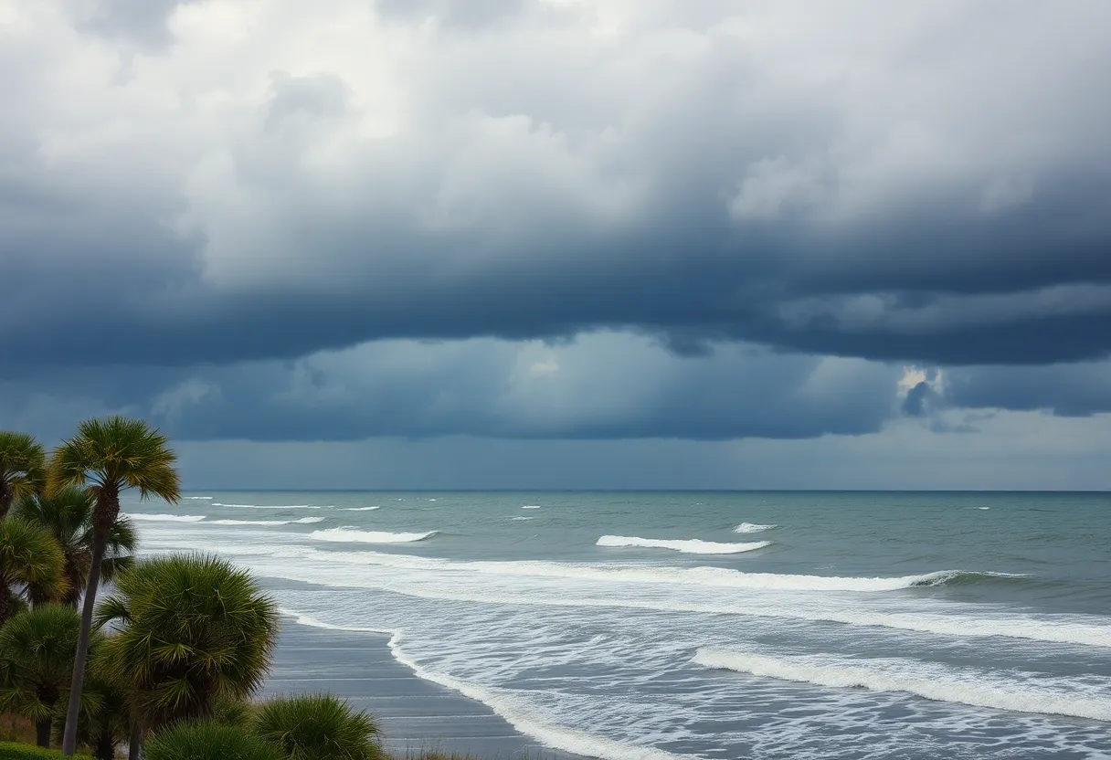
As the storm approaches, a tropical storm warning has been issued from Edisto Beach to Ocracoke Inlet in North Carolina. This means that residents in these areas should prepare for some rough weather. The National Weather Service reports that coastal areas could see rainfall totals ranging from three to six inches, with the potential for even heavier amounts in localized spots.
To add to the mix, the storm is expected to bring gusty winds and the risk of flooding. Wind speeds could reach up to 50 mph, with tropical storm-force winds pushing out as far as 175 miles from the center. Residents should brace for wind gusts of up to 45 mph and prepare for the likelihood of storm surge flooding along the coastline.
Safety Measures in the Works
Many local school districts are adjusting their schedules to account for the potential impact of the storm. Charleston County schools will shift to an eLearning day, while Georgetown County schools will fully close. Students in Williamsburg County won’t be in class either, but staff members are advised to report to work if it’s safe to do so.
What’s Next?
As the rain starts to fall and winds begin to howl, residents will definitely want to stay updated on the storm’s progression. Doppler radar is already showing signs of strong winds moving toward the coast, and conditions could deteriorate quickly. Meteorologist reports indicate that while the storm might not produce major impacts overall, certain neighborhoods could face much more challenging situations.
Additionally, the storm will contribute to high surf and the potential for rip currents in the coming days, alongside an increased risk of minor coastal flooding. Therefore, it’s wise for beachgoers and boaters to stay alert and exercise caution.
In conclusion, as Charleston prepares for what’s next with Hurricane Helene on the horizon, it’s essential to stay informed and ready. So keep those weather apps handy, check up on family and neighbors, and let’s hope Helene isn’t too rough on our beloved coast!
Deeper Dive: News & Info About This Topic
- Count on 2 News
- Wikipedia: Tropical Storm
- ABC News 4
- Google Search: Hurricane Helene
- Live 5 News
- Google Scholar: Tropical Storm Preparedness
- Fox Weather
- Encyclopedia Britannica: Tropical Storm
- Island Packet
- Google News: Charleston Weather News